Remote Sensing-Based Study of Sylhet's Swamp Forests
Project Overview
Duration
July 2023 – June 2024
Institution
Sylhet Agricultural University
Degree
MS in Aquatic Resource Management
Supervisor
Prof. Dr. Ahmed Harun-Al-Rashid
Status
Thesis submitted, awaiting publication
Background
Swamp forests constitute some of Bangladesh’s scarcest and most ecologically valuable habitats, yet many remain virtually unstudied. Apart from Ratargul—already recognised and protected—sites such as Mayaban and three other major Sylhet swamp forests still lack basic ecological records. This study addresses that knowledge gap by tracking how these wetlands have evolved over space and time.
Employing a remote-sensing and GIS framework, and validating satellite observations with on-site surveys, the project will generate insights essential for sound conservation planning and sustainable management of Sylhet’s swamp-forest ecosystems.
***Detailed results will be shared upon publication.
Objectives
Analyze vegetation and wetland dynamics in Sylhet’s swamp forests (2000–2023).
The project extends attention past Ratargul to other Sylhet swamp forests, pairing multitemporal satellite imagery with field checks to reveal land-cover and ecological shifts. Its findings will guide targeted wetland management and provide a replicable monitoring template for understudied habitats.
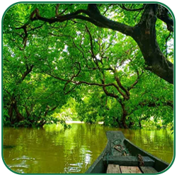
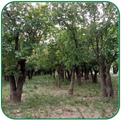
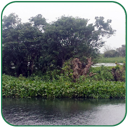
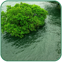
Visuals of the Research Site
Disclaimer
This research has been submitted for the MS degree at Sylhet Agricultural University and is currently unpublished. Outcomes are shared here for academic visibility only and are subject to further peer review.