Spatio-Temporal LULC Analysis of Mayaban Swamp Forest
Project Overview
Duration
July 2022 – June 2023
Institution
Habiganj Agricultural University
Study Area
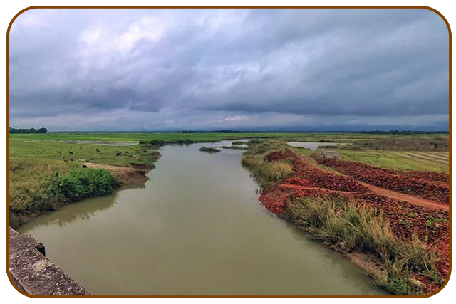
Mayaban, Sylhet
Supervisor
Iftekhar Ahmed Fagun
Status
Manuscript submitted
Background
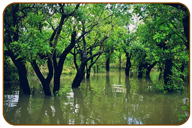
Mayaban is a freshwater swamp forest nested inside Jugirkandi Haor (Alirgaon Union, Goainghat Upazila, Sylhet). Unlike Ratargul—which floods only in the monsoon—Mayaban stays under water for roughly eight months each year, creating a striking “floating” treescape dominated by hijl, jam, barun and karach.
The wetland shelters indigenous fish, deer, foxes, waterfowl and snakes, yet it has no formal reserve status. Over-fishing, fuel-wood extraction and illicit tree felling now threaten this little-studied ecosystem, underscoring the need for an up-to-date picture of how its land cover is changing.
***Detailed results will be shared upon publication.
Objectives
Map the spatial distribution of water, bare land, vegetation and forest in Mayaban for each year between 2016 and 2023.
Quantify class-to-class conversions and net gains/losses to reveal dominant change trajectories over the seven-year period.
Methodology
Imagery: Sentinel 2
Field validationa: DJI Air 2 drone
Processing: Google Earth Engine – atmospheric correction, NDVI computation
Classification: Supervised using annual NDVI stacks
Tools: GEE for analysis, QGIS & Excel for mapping and statistics
Significance
Delivers the first multi-temporal LULC chronicle for Mayaban, filling a critical data gap
Generates evidence to support protected-area status and climate-smart management plans
Visuals of the Research Site
Disclaimer
This work represents a research project that is still ongoing. The information presented here is shared solely for academic visibility and discussion; it should not be applied until peer-reviewed publication is complete.